


21 Jul A lived municipality
In a valuable location, you don’t live or work, you live the territory..
To assert itself as sustainable, but above all to be recognized as sustainable is the goal of decision makers, technicians and citizens who share the territory among themselves. The location where they are located, intercepts the political vision, the technical work and the ambition of the citizen who lives the territory.
In 2015, the United Nations (UN) defined 17 Sustainable Development Goals to fulfill the 2030 Agenda, a year in which it is estimated that around 60% of the world population lives in cities.
The recognition of the opportunities and challenges underlying the demographic projection, is reflected in the 11th Objective for Sustainable Development, which recommends the adoption of policies for the creation of Sustainable Cities and Communities.
What sustainable territories does the 2030 Agenda aim at?
In order to achieve Sustainable Development, territories must promote inclusion, security, resilience and sustainability, through the balance between urban and economic management and the humanization of spaces, finding the uniqueness of each location. That is its value.
According to the UN, the value of each territorial location results from the operationalization of objective 11, since, “by choosing to act sustainably we choose to build cities where all citizens live a decent quality of life, and form a part of the city’s productive dynamic, creating shared prosperity and social stability without harming the environment ”. The citizen, in a 2030 territory, is part of the local dynamic, intervening based on his location, whether at the level of his street or his neighborhood
The 2030 territories will be the result of what decision makers, managers and citizens are able to produce together in a given location. It is unequivocally the local contribution that will fulfill the global objective of sustainable development. Because?
Because only those who know the territory are able to diagnose its weaknesses and strengths, minimizing threats and exposing the opportunities of that location, giving it its value.
For this, the sharing of all contributions is decisive, they are inputs that arrive from the field and that are jointly analyzed and solved. But fluidity in access and information exchange is decisive and is only possible when Geographic Information Technology tools are made available to the needs of those who plan, manage, live the place.
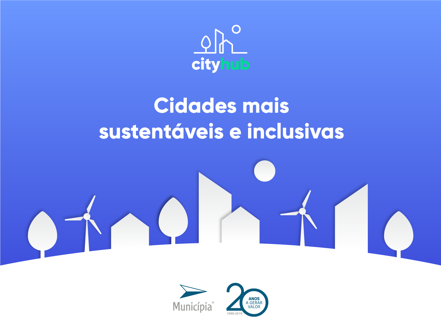
The cityhub, launched in June, is an intelligent territory management platform that centralizes digital solutions that allows the citizen to access a set of services without leaving home, and the Municipality more speed and assertiveness in solutions, driven by the fluidity of communication in real time.
But what do the Municipality and the citizens have in common? An intelligent territory management platform? Not! Much more than that, they have a common location to be lived.
The cityhub is the means by which the citizen communicates to the Municipality what is happening here and now. In real time, the Municipality records the contribution of the citizen and triggers the appropriate response protocol. But that’s not all!
The cityhub is synonymous with effective communication. It is the citizen’s desk available in each person’s pocket, through a platform where the connection is made with the creation of a user profile.
In common, Municipality and Citizens have the location. It is the coordinates that share that bring them together in the same territory, and that is why the search for solutions, effective in time and efficient in resources, for the challenges they encounter daily is a responsibility shared between decision makers, managers and citizens.
Cityhub allows an easy and intuitive interaction, respecting the principles of universality for the digital transformation of public services, defined in the Tallinn Declaration in 2017, and for this reason it is an intrinsically designed platform for use by Everyone in All Municipalities.
The platform makes it possible to centralize contact with the citizen and the management of the internal organic units of the municipality in a single point, in a logic of verticalization of services. It is the compatibility between internal work and external need.
Contact with the citizen and employees of the municipality is leveraged by a portfolio of geographically based applications, with a common, practical and functional design (iconography adapted to functionality) as a key to facilitate use: just a login, gives everyone the ID to navigate between applications.
For the autarchy, the management of the organic units becomes more assertive and productive: the geographic information is available in real time, for internal employees, at different levels of decision, within the macrostructure of planning and management of the territory.
Its transversal character allows the connection between the Municipalities adhering to the cityhub, creating an integrated network of territorial management of national scope.
Does cityhub create inclusive, safe, resilient and sustainable territories to meet 2030?Yes, by centralizing information and placing the territory in the hands of the citizen from its location, valuing it.
This is what the 2030 Agenda is all about: placing the citizen at the center of local management, involving him in the territorial dynamics in all its phases, from conception to implementation, but also immediately gathering his opinion on the ongoing transformations. It is to give the citizen the necessary tools so that the ongoing evaluation is participated based on the location of each one, it is to bet on the humanization of the territory.
The platform has in itself the achievement of the 11th objective for Sustainable Development as it is an integrated management support, prioritizing human relations in the construction of the 2030 territories, which in 2015 the UN envisaged.
The intelligent territory management platform – cityhub, fulfills at the local level the objectives of global sustainable development, supports Municipalities in the process of digitizing their relationship with citizens and, above all, places the citizen at the center of the territorial experience.
The territories of the future do not only need to (re) invent themselves in terms of the physical planning of cities, they will above all need to bring human dynamics to spaces. Like? Inviting Everyone to live the Municipality more and more from the palm of their hand, because being connected is also part of the local social network, the neighborhood network.
“Take an active interest in the governance and management of your city. Advocate for the kind of city you believe you need. Develop a vision for your building, street, and neighbourhood, and act on that vision.” (http://www.un.org/sustainabledevelopment)