


Our History
2022
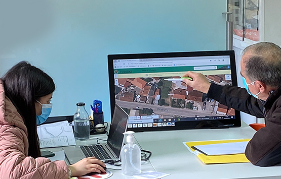
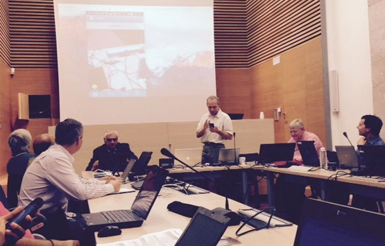
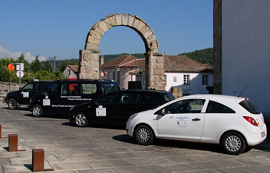
BUPi- Digital Land Registry
Consultancy on the operationalization of customer service desks within the scope of the Simplified cadastral information systems project in three municipalities.

2021
uniquePATHS tourism platform
Design and development of the uniquePATHS tourism platform www.uniquepaths.eu

2020
Cityhub.pt
Design and development of a centralizing platform for digital solutions www.cityhub.pt
2019
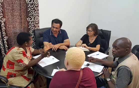
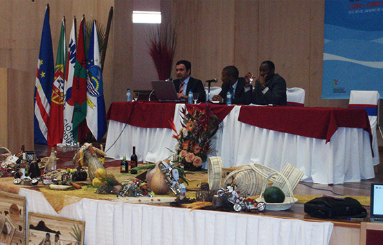
Regularization of DUATS of Mozambique
We were the entity selected for the systematic registration and regularization of land in Nampula Province, Mozambique, with a target of 144,714 RDUATS. This initiative, launched by the Ministry of Lands and Rural Development, with funding from the World Bank, aims to identify, collect and register 5,000,000 DUAT plots, as well as the delimitation and certification of 4,000 local communities.
2018
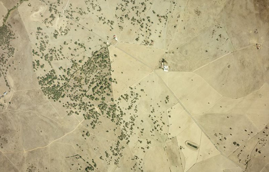
1st Full Photogrammetric Aerial Survey of Portugal at GSD 30 cm
As part of the project carried out for the Agriculture and Fisheries Financing Institute, Municípia flew with a partner over the total area of mainland Portugal, covering the territory with digital images at 30 cm resolution. This collection of images provided the country with the most detail coverage carried out to this day.
2017
Execution of the Cabo Verde - São Vicente Cadaster
We were the entity selected by the Millennium Challenge Account - Cabo Verde to register the island of São Vicente. This project, successfully concluded in 2018, aimed at clarifying and regularising the rights and limits of property in this territory.
2016
UE Geosmartcity
We have integrated the Geosmartcity European project together with 12 European entities from 9 different nations. In this period, we involved our most specialized means and human resources in the production of open-source tools and spatial-based studies in 2 key areas of management: energy efficiency (called in the project Green Energy) and underground infrastructure management (called in the project Underground Intelligence).
2015
WebGIS cadastre solution for East-Timor
The skills acquired by Municípia in terms of application development on open source GIS platforms were capitalized on in East-Timor, with the development of the solution for the acquisition and management of cadastre in this territory.
2014
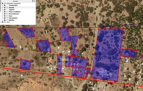
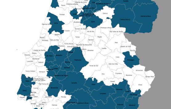
Implementation of the Synergic Cadastre
We participated in the project that made possible the existence of a land registry in Portugal, as a comprehensive data set, characterizing and identifying the properties existing in the territory. We produced cadastre in the 37 civil parishes of the Municipalities of Oliveira do Hospital and Seia.
2013
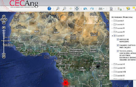
CeCANG Angola Project
We developed the CeCANG Angola platform, with the final objective of carrying out the Commercial Establishments Census. The collection, carried out in a mobile application developed by Municípia, allowed real-time mapping of the entire wholesale sector in that country.
2012
First aerial survey in Morocco
We entered Moroccan airspace for the first time, acquiring aerial photography for hydrological, topographic, and cadastral studies.
2011
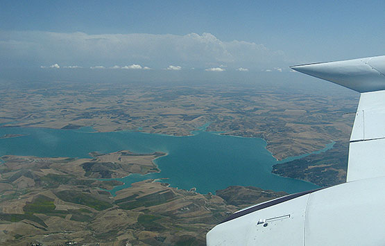
Harmonization of CTT track axes bases
The Municípia's DNA is in the development of projects that lead to the creation of unique, centralized, and unambiguous geographical bases. This CTT project has been characterized by the challenge of harmonizing the different bases existing at the time and by the strategy of increasing efficiency in downstream operational processes.
2010
Acquisition of the Cessna 402B aircraft
Flying further and further away and with greater capacity at the level of the sensors on-board led us to modify and operate a new aircraft, the Cessna 402B, with various possible combinations at the level of sensors, from cameras, LIDAR or hyper/multispectral.
2009
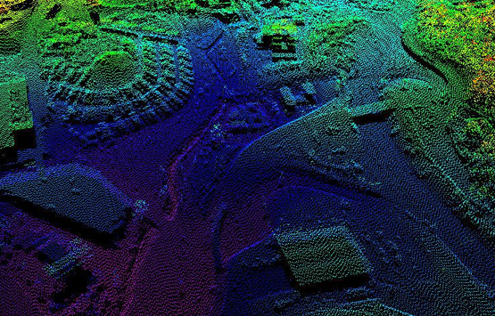
LIDAR Aerial Survey over the Municipality of Oeiras
We have completed the first LIDAR aerial survey over the Municipality of Oeiras, which allowed us to obtain information never before seen on its topographic surface.
2008
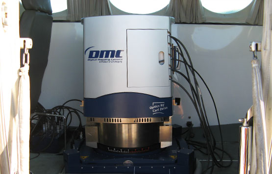
Acquisition of the Digital Aerial Photogrammetric Camera
With the evolution of technologies applied to airborne sensors, we acquired the country's first digital Aerial Photogrammetric camera - an Intergraph DMC. We made digital the whole cartographic process.
2007
Open-source software throughout the application development chain
We invested early on in programming software parts that would free our customers from dispensable annual licensing. We teamed up, promoted open source initiatives, and went productive, providing disruptive technology-based application environments at controlled costs.
2006
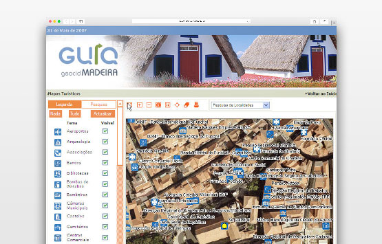
Launch of the geographic portal GeoCID Madeira
We have developed and installed a content management system, based on a WebGIS platform and with e-government components, in the Regional Government of Madeira. This project has put Madeira at the forefront of public service delivery, citizenship, and governance, in a digital environment.
2005
Aerial Surveys for the High-Speed Network
We produced the first aerial photogrammetric survey as part of the feasibility studies for High-Speed Lines.
2004
Extension of the shareholding structure to 50% of Portuguese Municipalities
The local authorities recognized the value of the investment made in know-how and geographic information technologies in Municípia and its impact on the management of the territory in all the Portuguese Local Public Administration.
2003
First international project: Cabo Verde
Internationalization, especially for the CPLP, has been in the company's strategy since its inception. We soon started activities outside Portuguese borders, producing in 2003 the first Digital Cartography for Cabo Verde.
2002
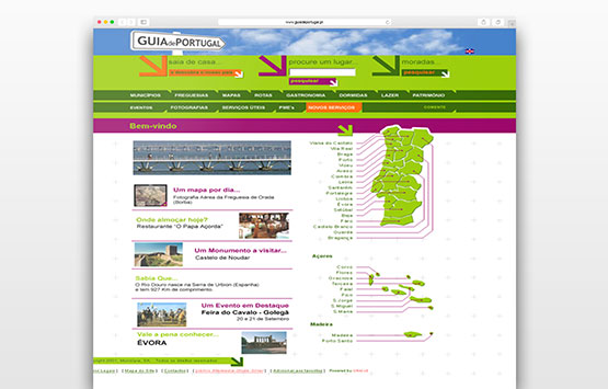
Launch of the digital platform Guide of Portugal
We have now implemented a platform that brings together all the economic activity of the country and hundreds of thousands of searchable companies per place in a single digital portal, georeferenced.
2001
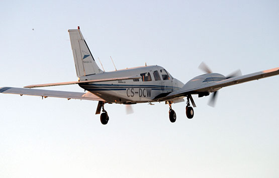
The first flight of aerial photography
In 2001, not only did we become the first company to have the entire cartographic production process with you, but we also formed the first civil aerial operator!
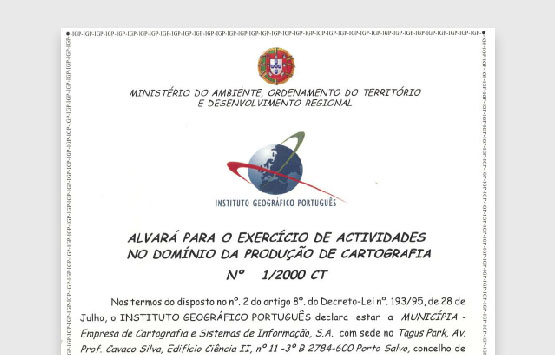
2000
Obtaining a license for cartography production
We have provided ourselves with the means to obtain and maintain the cartographic production permit. As a homologated cartography is the geographical basis that supports all the planning, occupation and management processes of the territory, the land parcelling must be a crucial instrument of standardization and the number of homologated projects an indicator of excellence.
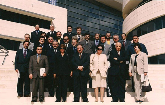
1999
Constitution Date with 60 Municipalities
Municipia was born in Oeiras, the result of the vision that accurate and comprehensive knowledge of space is a basic condition for success in managing the territory.