


Aerial
01.
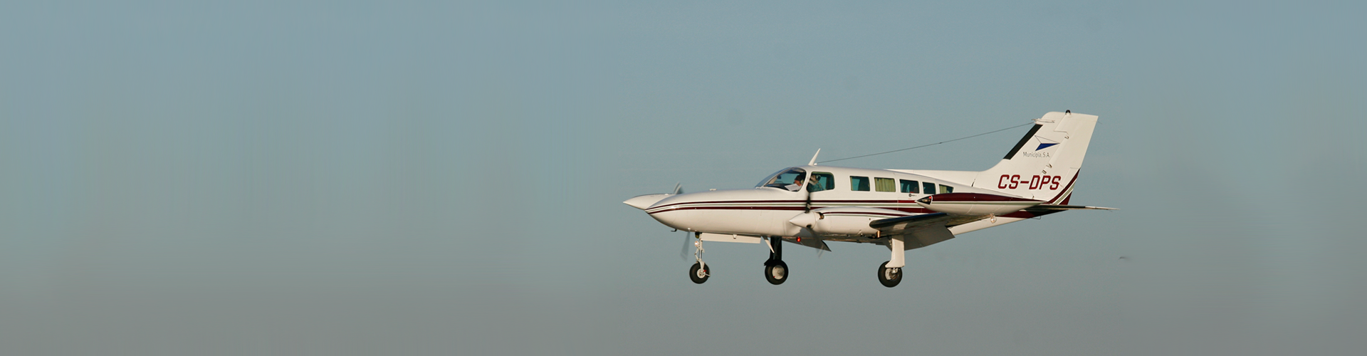
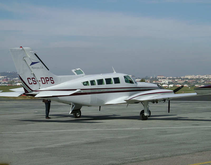
Aircraft
We perform fast and effective flights with the best adaptation to the local aerodrome network.
We operate a twin-engine Cessna 402B aircraft, which combines generous space and weight with the possibility of installing 2 sensors. The two openings available allow different combinations of aerial sensors, from the cameras to LIDAR or hyper / multispectral.
Equipment features:
Cessna 402B – Turbo-charged
- Operating ceiling of 27.000 ft (8230 m);
- Average autonomy of 5 hours;
- Speed between 110 knots and 170 knots, depending on the technical specifications of each project;
- GNS430 system.
02.
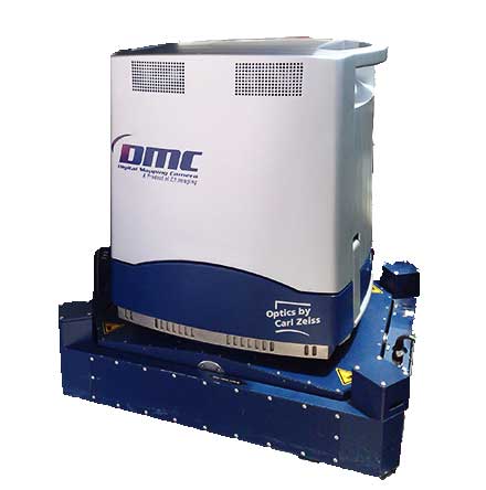
Aerial Sensors
We ensure the immediate delivery and processing of digital images.
With regard to aerial sensors, the Intergraph DMC aerophotogrammetric camera is our base. Also available we have LIDAR sensors, thermal, multispectral and hyperspectral, making it more flexible to respond to infrastructure, agriculture, environment or territory management projects.
Equipment features:
- Direct introduction to the process of producing cartography, orthophotomaps and GIS;
- TDI (Time Delay Integration) technology;
- 12 bit resolution, 7680x13824px image and GSD from 4 to 50cm;
- Lenses produced in partnership with Carl Zeiss;
- ZI gyro-stabilized platform;
- IMU – Integrated Inertial System for obtaining the coordinates of the frames with maximum precision;
- Panchromatic, RGB and Infrared Digital Images.