Terrestrial
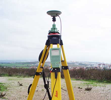
01.
GNSS
We have dozens of state-of-the-art GNSS, from brands such as Leica and Trimble, as well as Leica total stations, so that the cadastre processes, photogrammetric field works, or infrastructure surveys are executed with maximum accuracy.
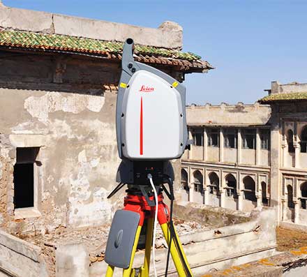
02.
Laser Scan
For architectural, infrastructure or heritage surveys, we use a Leica Laser Scanner, capable of registering millions of high precision points up to distances of 300m. The XYZ measurements are presented as a “point cloud” that, together with images acquired simultaneously in a coupled camera, allow the production of georeferenced images.
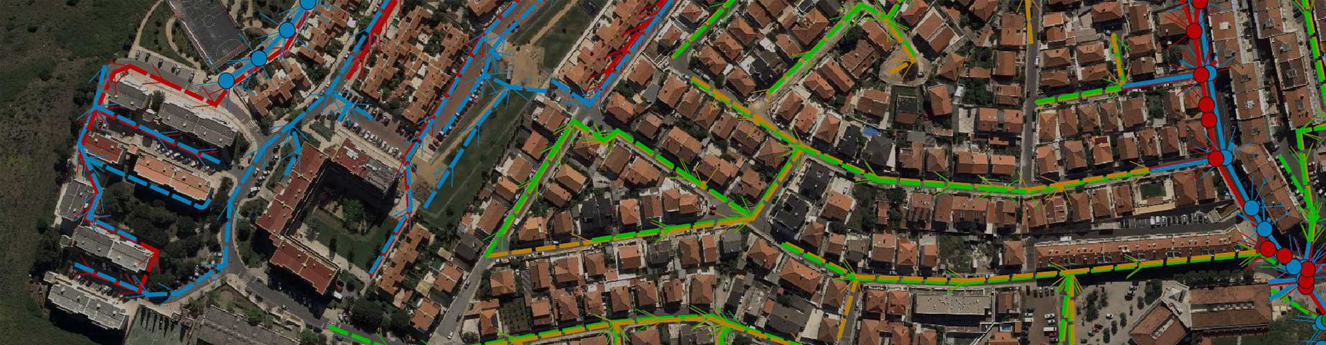
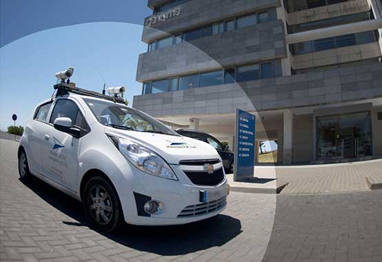
03.
Mobile Mapping
When surveying architecture, infrastructure or network projects, we also can use Mobile Mapping Technology, which consists of a data collection system installed in a vehicle integrating LIDAR (Light Detection and Ranging), cameras or other acquisition sensors, according to its objective.
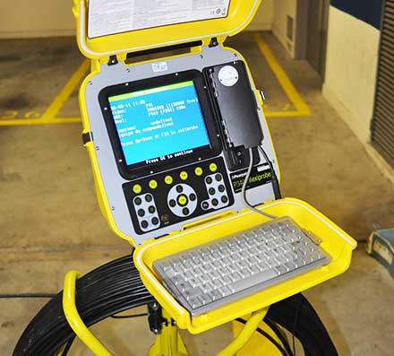
04.
Mobile Equipment for Field Survey and Inventory
The globalization of the GNSS signal and mobile devices and networks has resulted in the adaptation of our team of developers to the development of intuitive, simple, robust and map-based applications, removing the paper from the equation and making the location available at any solution.
Using open source software, avoiding licensing costs, our application solutions are tailor-made to the surveys and can be customized depending on the phenomena. In all cases, the integration of data in an organized and georeferenced structure is key.