


GIS Consultancy and Training
01.
Consultancy


We offer a careful and personalized planning tailored to your project.
Our consultancy projects aim to support you in the organization, centralization and share of Geographic Data, geared to your business, providing rapid success, reuse, dissemination, standardization and wide implementation of data.
Characteristics
- Consultancy in GIS, IT and Remote Support.
- Integrations between applications, commercial systems and OpenSource platforms.
- Application of Open GIS Consortium (OGC) standards.
Our Advantages
- Cost reduction through the implementation of lighter infrastructures, absence of licensing and centralization of information;
- Increase in revenue through streamlining processes;
- Reduction of time by eliminating superfluous and redundant tasks.
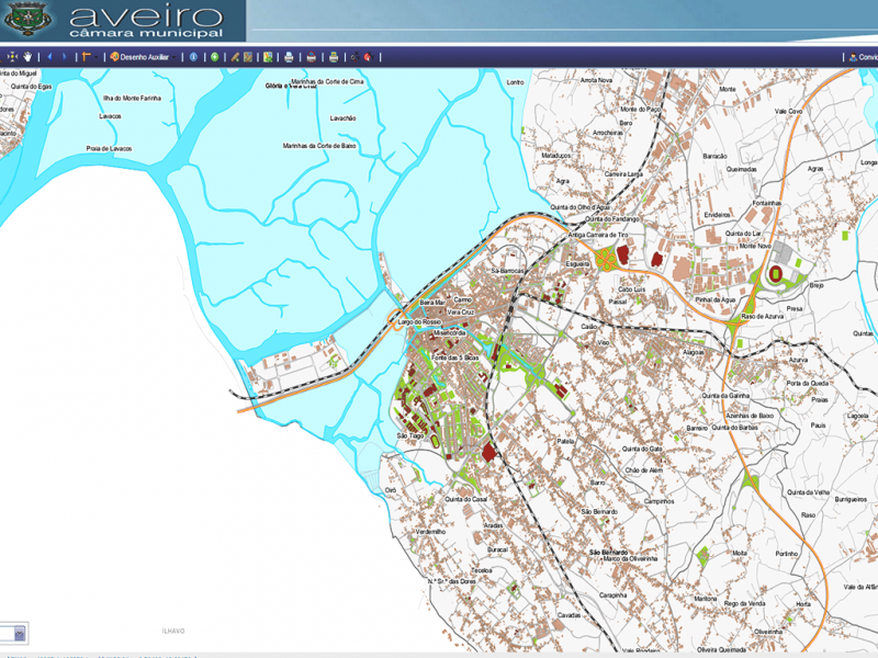
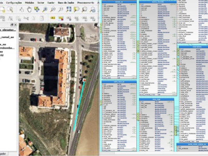
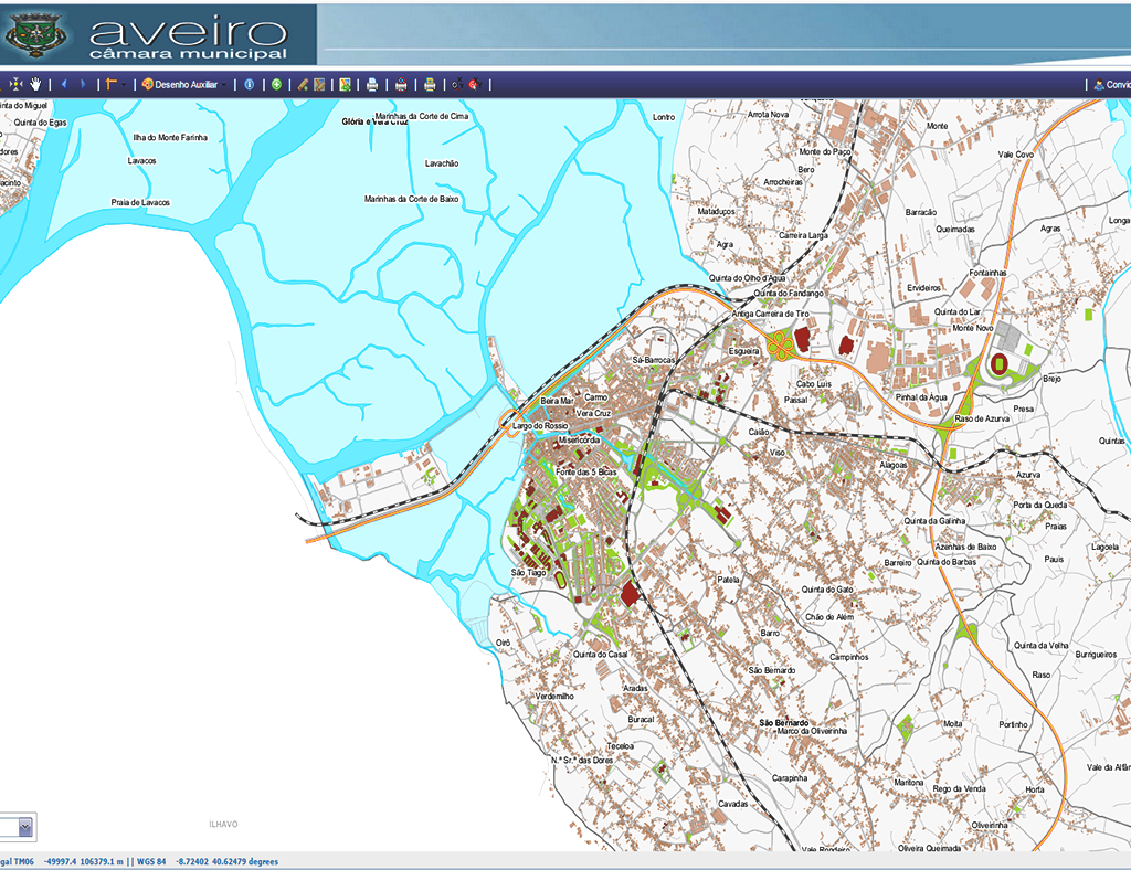
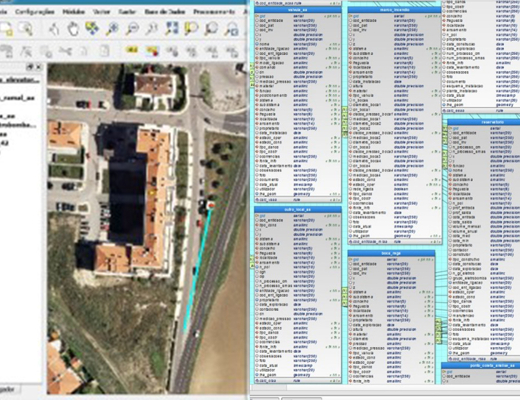
Success cases
02.
GIS Training


We are certified by DGERT for the development / execution of training activities.
We bet on courses tailored to your needs with private classes and flexible schedules, in our own facilities, on the client or online.
Characteristics
- Face-to-face courses at own facilities, customer or distance.
- CCP certified trainers.
- DGERT certified company.
Our Advantages
- Cost reduction through the implementation of training at the workplace;
- On-the-job training using the geographic data of the trainees;
- Trainers with pedagogical certification and with practical experience in implementing consultancy projects.
Our Courses
- SIG Desktop – Open Source
- GIS Thematic Cartography
- GIS Raster
- GIS Networks
- Geographic Databases
- Municipal Spatial Data Infrastructures
- Conversion and integration of Territorial Management Instruments
- GIS in Municipal Asset Management
- GIS in the Management of Public Green Spaces
- munWebGis – Process georeferencing
- munWebGis – Emission of Location Plans
- munWebGis – Consulta aos PMOTs
- Gestão da Qualidade em Serviços de Informação Geográfica
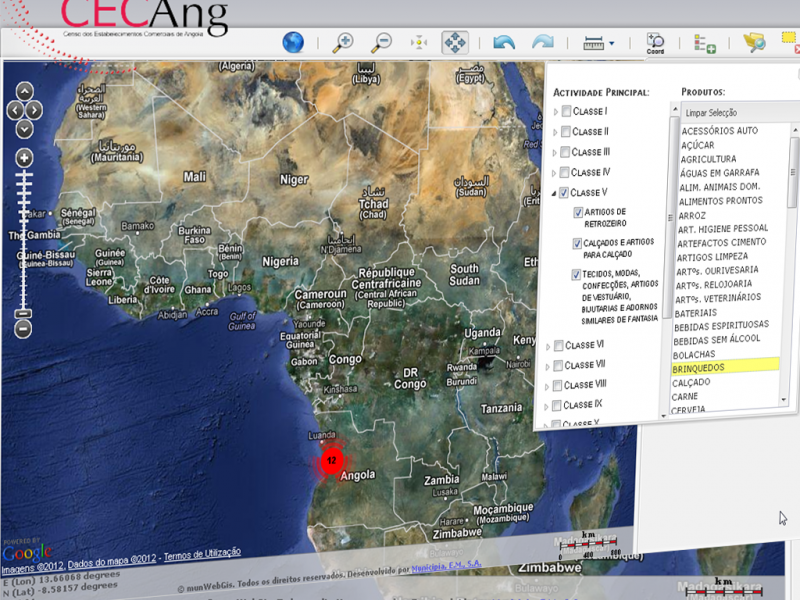
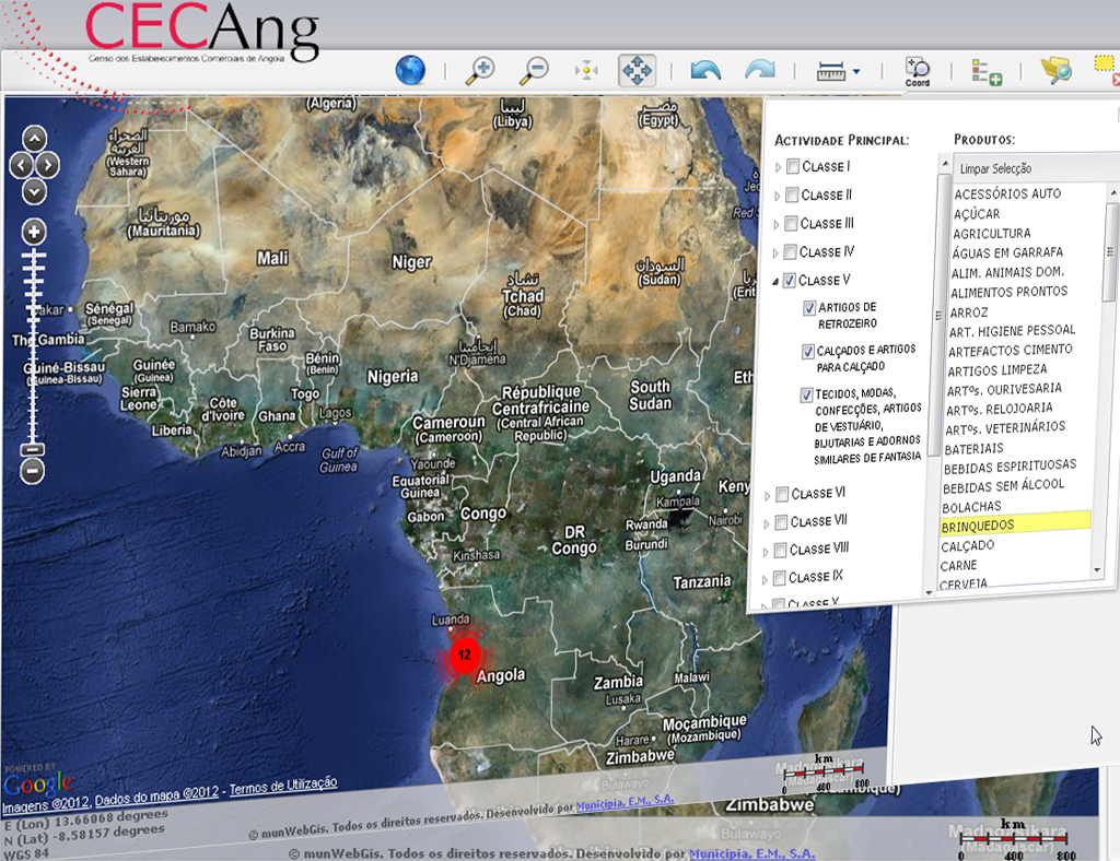
Success cases

03.
IDE – Spatial Data Infrastructures


We believe in the strategic success provided by a GIS that benefit from Open Source technology (No cost to acquire software licenses) and specialized professional services.
We implement and maintain spatial data sets and respective metadata, structured in accordance with the standards defined by the international organizations and the INSPIRE Directive, and making the best use of OGC services (Open Geospatial Consortium) either for external data services or own data shares.
Our Advantages
- Centralized information management and access;
- WMS and WFS services according to the OGC Open Source guidelines;
- Access to tools for Consultancy and exploring geographic data;
- IDE complying to the INSPIRE Directive.