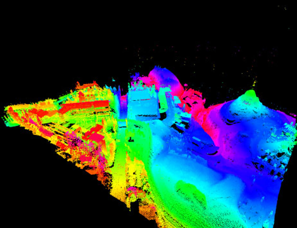
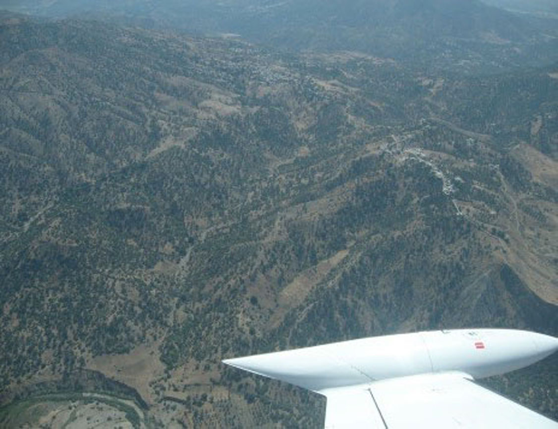
Archive

About the Project: Scope: Hydrological, Topographical and Cadastral Studies for the Provincial Directorate of Agriculture of Fez - Preliminary Dam Study Location: Morocco - Fez Characteristics: Aerial Photography.                  ...

About the Project: Scope: Cartography of Flood Zones in the river beds Location: Oeiras Characteristics: Digital Terrain Models (DTM) and High Resolution Surface (DSM).          ...

About the Project: Scope: Natural, technological and mixed risks Location: Montemor-o-Novo, Arraiolos, Viana do Alentejo and Portel Characteristics: Physical, socio-economic and infrastructural characterization and elaboration of the hazard / susceptibility, vulnerability and risk mapping.            ...

About the Project: Scope: Energy Efficiency Location: Lisbon Characteristics: Mapping the potential of all roofs and developing and publishing a webGIS application to consult the solar potential by address, available on the WEB for all citizens. View online at: Lisboa e-Nova              ...

About the Project: Location: Municipalities of Oeiras and Amadora Quantity: 10 700 visit boxes - 520km of ducts Activities developed: Field survey - Technical registration (Location, technical, functional and conservation status); Office data processing - GIS database, Creation of a database for integration into the Customer's system.    ...

About the Project: Location: Montijo Municipality Quantity: 800km water supply network and 300km drainage network Activities developed: Technical consultancy and brief diagnosis; Data Model and Database in PostGres GIS; Connection to QGIS and interface customization; CAD data integration; Training and monitoring / consulting.      ...

About the Project: Scope: Management in the Central Government Location: Angola Characteristics: Recruitment and selection of technicians; formation; programming the data collection form using GPS + Netbooks; planning of data collection routes; coordination of fieldwork; data validation; development of the webGIS application for the exploration of census data.        ...

About the Project: Scope: Municipal Management Location: Aveiro Characteristics: Installation of open source software architecture; data transformation between different reference systems (HGD73 for ETRS89 PT TM-06); definition of the system architecture; import of Geographic Information into PostgreSQL / PostGIS according to the INSPIRE directive; implementation of the data...

About the Project: Scope: Natural, technological and mixed risks for Ribeira Brava, Porto Moniz, S. Vicente, Santana Local: Ribeira Brava, Porto Moniz, S. Vicente, Santana Characteristics: Review of the Municipal Emergency Plans and elaboration of the hazard / susceptibility, vulnerability and risk mapping      ...