


East Timor: WEBGIS and mobile management and registration data acquisition platforms
Category
International, Public AdministrationAbout This Project
About the Project:
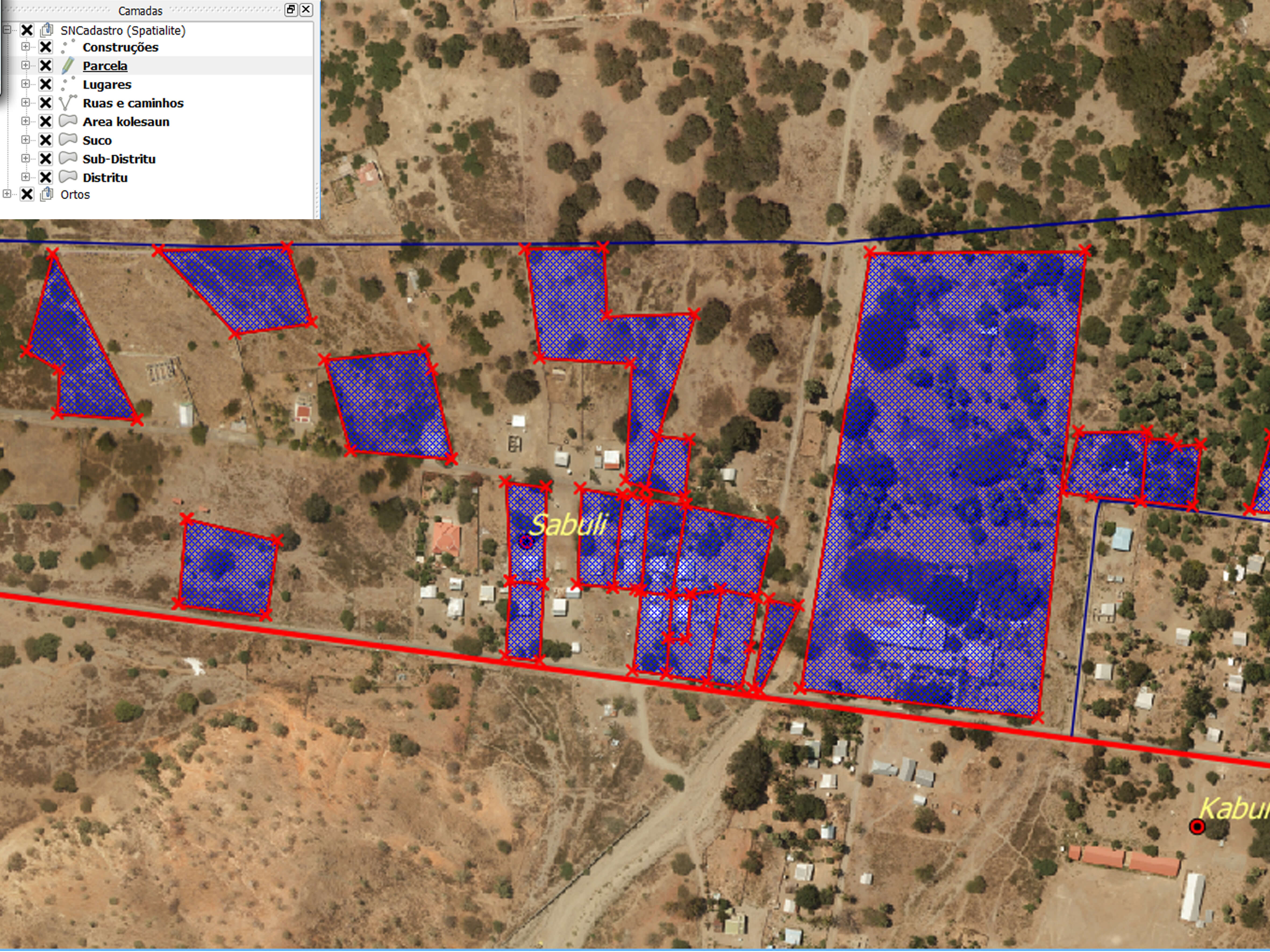
Scope: Property Registration
Location: Timor-Leste
Characteristics: Development of a dedicated GIS platform for Cadastral Management (field and office), design of the Data Model, implementation and quality control of the data and training that allows the following tasks: verification of the quality of the property declarations and plot geometry; data processing in a GIS environment; validation of data quality; provision of provisional registration data to official entities; provision of definitive registration data for official entities.