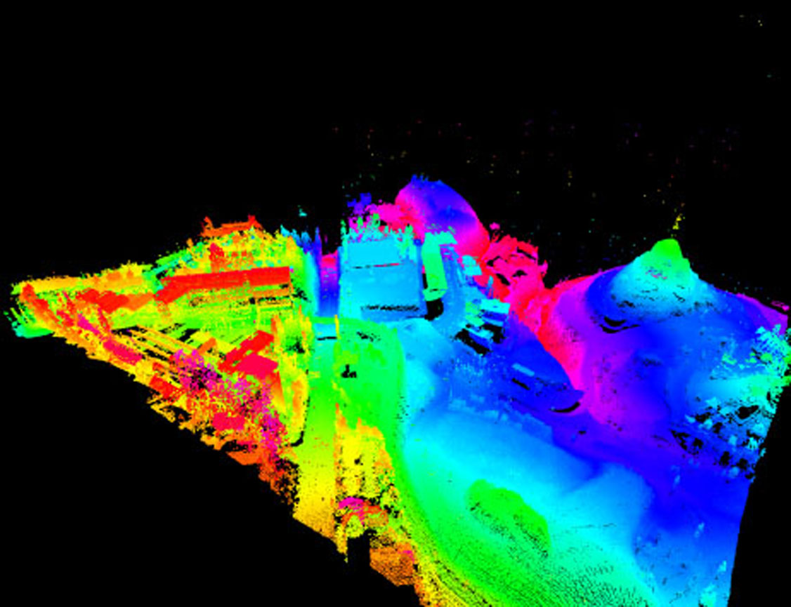
Scope: Cartography of Flood Zones in the river beds
Location: Oeiras
Characteristics: Digital Terrain Models (DTM) and High Resolution Surface (DSM).