


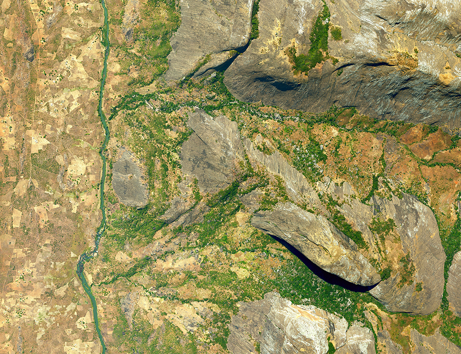
Mozambique – Aerial Coverage – Regularization of Land Occupations in Nampula Province
Category
International, Public AdministrationAbout This Project
About the Project:
Scope: Provision of aerial images for systematic land regularization in the provinces of Zambézia and Nampula
Location: Nampula Province, Monapo, Mogincual, Mossuril, Nacala-a-Velha and Memba districts
Characteristics: In 2019 the Municipia produced aerial coverage and orthophotomaps production in several areas in the province of Zambézia and Nampula.
This flight was carried out during the summer of 2019 and later orthophotomaps were produced.